
The Dawson Trail
The Historical Dawson Trail is often referred to as the Forgotten Trail, yet its construction was one of the most significant events in Canadian History. The Dawson Trail was named after Simon J.
Read time: 1 min
The Historical Dawson Trail is often referred to as the Forgotten Trail, yet its construction was one of the most significant events in Canadian History. The Dawson Trail was named after Simon J.
The Historical Dawson Trail is often referred to as the Forgotten Trail, yet its construction was one of the most significant events in Canadian History. The Dawson Trail was named after Simon J. Dawson who was a surveyor on the expedition that led to the construction of a road that would eventually link the east to the west and unite the country from coast to coast. In 1868 a decision to proceed with the construction of a corduroy road which took three years to build.
The Dawson Trail runs along the north side of the Seine from Winnipeg went through the towns of Prairie Grove and Lorette to Ste. Anne, east through Richer, whose main street is on the route and across the Brokenhead River near its source, to the Whitemouth River. The bridge across the Whitemouth no longer exists, but the trail ran eastward to cross the Birch River north of Birch Lake. Then it turned southeast to Harrison Creek, whose north bank it followed to the North West Angle Inlet on Lake of the Woods. The clearing made for the trail in the woods is still visible and it intersects the present provincial highway 308 about 5 miles or so south of East Braintree. At Northwest Angle an old immigrant house still stands in silent tribute to the more than 3,000 pioneers who followed the old voyageur route.

Have you been thinking about starting a garden? It's the perfect time to start planning and building your garden for…
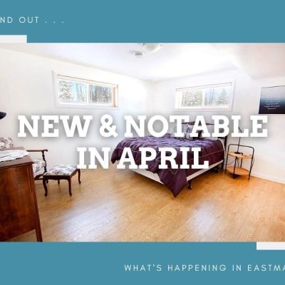
New and Notable in April – Outdoor Expo and New Businesses! Eastern Manitoba is constantly growing. There’s always something to…
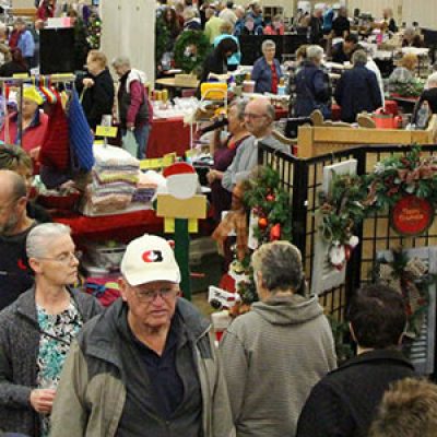
Who doesn't love craft sales? You get to see creative products, eat delicious homemade food, and not only support the…